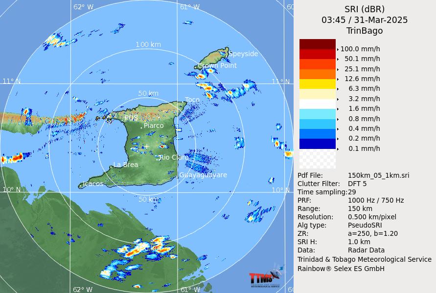
SRI (Surface Rainfall Intensity) An estimate of rainfall intensity associated with different echoes.
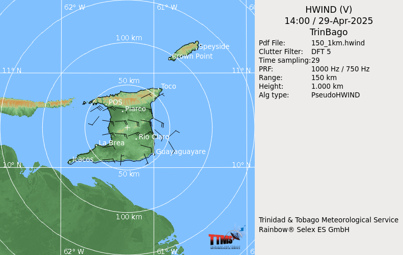
HWind (Horizontal Wind) Shows wind flow at a specific altitude.
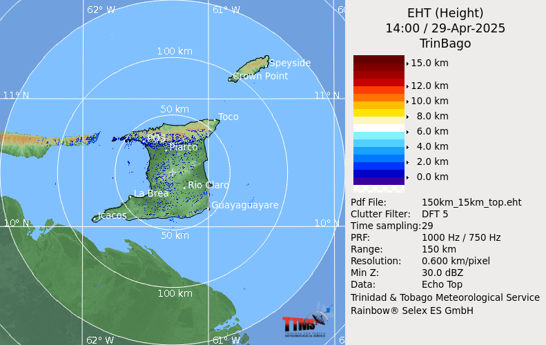
PPI (Plan Position Indicator) Gives a representation of the height to which the top of the clouds extend.
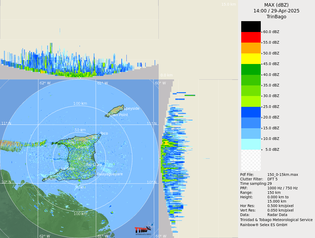
MAX (Maximum) Shows a 2 dimensional (2D) flow for the horizontal and vertical profile of the clouds.